- Reclamation
- Colorado River Basin

The Colorado River Basin, located in the southwestern United States, occupies an area of approximately 250,000 square miles. The Colorado River is approximately 1,400 miles long and originates along the Continental Divide in Rocky Mountain National Park, Colorado, and ends where it meets the Gulf of California in Mexico. The Colorado River is a critical resource in the West, because seven basin states (Arizona, California, Colorado, Nevada, New Mexico, Utah and Wyoming) depend on it for water supply, hydropower production, recreation, fish and wildlife habitat, and other benefits. Although agricultural uses depend on 70 percent of Colorado River water, between 35 and 40 million people rely on the same water for some, if not all, of their municipal needs. Moreover, the United States also has a delivery obligation to Mexico for some of the Colorado River waters pursuant to a 1944 Treaty with Mexico.
Featured Areas
Post 2026 Colorado River Operations
Supplemental EIS for Near-term Colorado River Operations
Drought Response Operations Agreement
Lower Colorado River Basin System Conservation and Efficiency Program
Upper Colorado River Basin System Conservation and Efficiency Program
Operating under the 2007 Interim Guidelines
Review of the 2007 Interim Guidelines & 7.D. Report
Announcements
-
Colorado River
Alternatives Report - Post-2026 Operational Guidelines and Strategies for Lake Powell and Lake Mead
Jan. 17, 2025 Reclamation published the Alternatives Report to document the alternatives that were publicly released on November 20, 2024, and are anticipated to be carried forward in the draft EIS for the ongoing Post-2026 Colorado River Operations NEPA process. The alternatives identified in the report provide a reasonable and broad range of Colorado River operations that capture an appropriate range of potential environmental impacts from implementing new operational guidelines post-2026. The report also describes, in general terms, the process undertaken by Reclamation to develop the alternatives, provides a detailed description of the operational elements for each alternative, and compares the operational elements across each alternative. Learn more...
-
Reclamation provides an update on Post-2026 process and alternatives at Colorado River Water Users Association Meeting
 Dec. 5, 2024 Reclamation's Carly Jerla provided an update on Lake Powell & Lake Mead Operations Post-2026. View presentation
 -
Colorado River Post 2026 Operations
Status Update Webinar-Alternatives Development
Reclamation held a webinar on Thursday, October 10, 2024, to provide a status update on the Post-2026 Process, including an overview of the ongoing work to develop NEPA alternatives.
Webinar Presentation -
Operations
‘Cool Mix’ flows resume at Glen Canyon Dam
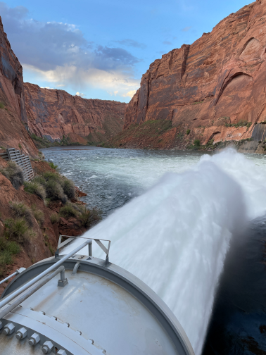
Aug. 5, 2025 – In response to rising river temperatures, the Bureau of Reclamation is resuming the release of colder water from deeper in Lake Powell through Glen Canyon Dam. This proactive measure aims to disrupt the establishment of nonnative fish that pose a danger to the threatened humpback chub. Read More →
-
Operations
Reclamation announces 2025 operating conditions for Lake Powell and Lake Mead
Aug. 15, 2024 – The Bureau of Reclamation today released the Colorado River Basin August 2024 24-Month Study, which determines the operating tiers for the coordinated operation of Lake Powell and Lake Mead for 2025. Based on projections in the study, Lake Powell will operate in a Mid-Elevation Release Tier in water year 2025 and Lake Mead will operate in a Level 1 Shortage Condition with required shortages by Arizona and Nevada, coupled with Lower Basin Drought Contingency Plan water savings contributions, in calendar year 2025. Mexico’s water delivery, which includes reductions and water savings, is consistent with Minutes 323 and 330. Read More →
-
Colorado River
Reclamation finalizes environmental process to combat nonnative fish below Glen Canyon Dam

July 3, 2024 – The Bureau of Reclamation today finalized its process to protect the humpback chub and other federally protected fish species with the signing of the Supplemental Environmental Impact Statement for the 2016 Long-Term Experimental and Management Plan Final Environmental Impact Statement Record of Decision. Reclamation initiated the environmental review process in response to the increasing numbers of smallmouth bass in the Colorado River below Glen Canyon Dam. Read More →


